A climb up Gummer’s How.

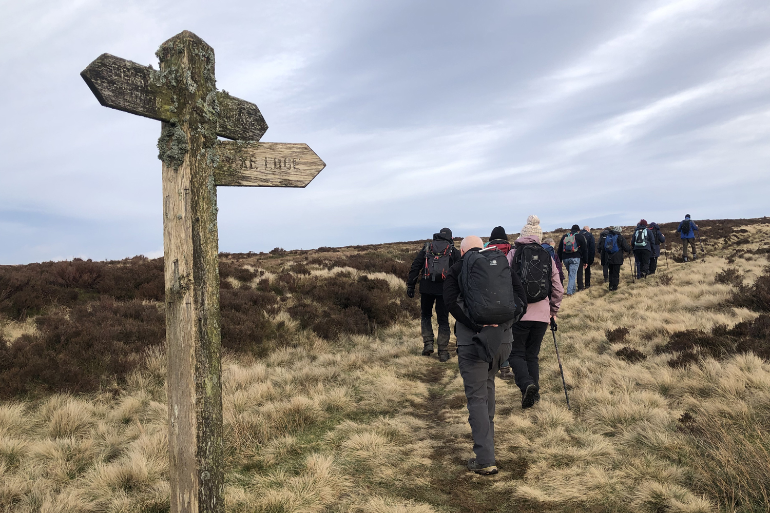
At the beginning of the week I spent an enjoyable couple of days in the Lake District with my son where we did a couple of walks that were new to me.

The first was a climb up to the summit of Gummer’s How. We parked at the Gummer’s How Forestry Commission car park just off the A 592 a couple of miles north of Newby Bridge. From the car park the route is clearly signposted and we began our climb.

The path initially followed the edge of a small pine plantation but soon opened out and we were rewarded with marvelous views looking down on Windermere and across to the Coniston Fells.

We crossed over a small stream and began to climb steeply up some man made steps to reach a wire fence. Continuing upwards over rocky outcrops we were soon at the summit.

The summit of Gummer’s How is only at 321 meters the view is fantastic. We continued on for about 50 meters and the view got even better. We could see along the full length of Windermere and pick out many of the classic Lakeland fells.

Looking west I could see the Coniston range and Scafell Pike. I have stitched three images together to try and recreate the view.

We retraced our steps back to our car and then made the short journey of just a couple of miles to the Beech Hill Hotel where we were spending the night. After checking in we headed for the bar for a couple of drinks, we deserved it.

Later as we enjoyed our meal the sky cleared and we were rewarded with a lovely sunset. A perfect end to the day.

At only 321 meters Gummer’s How cannot be classed as a Wainwright but it is well worth the modest climb.

Posted in Lake District, Memorable days, Walks | 2 Comments

Nearly blown away on the Dales Way.

On Sunday I was out with my local Rambling Club when we visited Grassington in North Yorkshire. We were still feeling the effects of Storm Kathleen and a yellow wind warning had been issued by the MET Office. I decided to take it easy and do the C walk, a steady 7.5 miles.

After days of heavy rain the ground was waterlogged but we were well equipped. Leaving Grassington we headed N.N.E onto the moors steadily gaining height. We now began to feel the full force of the wind and we had to take care getting over some of the ladder stiles.

After passing several Disused mine shafts we came to Bare House. This deserted and isolated farm house provided us with some shelter from the wind whilst we ate our lunch.

After lunch we continued heading North to reach Kelber Gate and the Bycliffe Road. We were now heading west with the aim of picking up the Dales Way which would lead us back to Grassington. It was approaching 2.00 pm and as predicted by the M.E.T office it began to rain. Big heavy drops that were whipped up by the gale force wind and were coming at us horizontally.

It was at this point that we missed our turnoff for the Dales Way and continued down the lane towards Conistone. We had gone half a miles before we realized and had to turn back. It was uphill and we were walking right into the wind.

The route now was straightforward but there were lots of ladder stiles to negotiate and were were are getting rather wet. My camera was now safely tucked away so no more photos.

We were back at the coach with an hour to spare. I was so glad that I had bought a complete change of clothing. Warm and dry I stayed on the coach and enjoyed a cup of coffee and an Eccles cake.

My usual pint of beer could wait till I got home.

Our unplanned diversion added a couple of miles to our walk and I recorded my final distance as 10 miles. I need a rest.

Posted in Crosby Rambling Club, Walks, Yorkshire | 1 Comment

Mid-week walk at Bidston.

My walk this week was at Bidston close to Birkenhead on the Wirral.

Starting at Birkenhead North Station we made our way to Bidston Moss.

As we climbed the hill we were rewarded with views across to Liverpool and in the opposite direction we had Wales.

The going was quite easy but there were one ot two puddles.

Leaving the Moss we headed for Bidston Hill passing Bidston Hall on route.

Our next point of interest was Bidston Lighthouse. The first lighthouse at Bidston was built in 1771 and was a replacement for the lighthouse situated a quarter of a mile out to sea at Leasowe. The lighthouse on Bidston Hill together with the remaining one at Leasowe were known as the ” sea lights” They provided a leading line to guide ships through the Horse Channel, a safe passage between the treacherous sandbanks of Liverpool Bay.

On the ridge we came to the Observatory built in 1866. In 1929 the Observatory and the Tidal Institute were amalgamated and became the leading authority on tidal predictions. In the Second World War the institute predicted the tide times for the D-Day landings.

Standing proudly on top of the hill is Bidston Windmill

The windmill on Bidston Hill was mentioned in a manuscript of 1609. The mill of 1665 was a “peg mill” but it was destroyed in 1791 during a gale.In 1800 a new tower mill was built and was used to grind corn for the next 75 years. The windmill is now used as an educational resource.

We now started our decent passing Tam O’Shanter Cottage. It was built about 300 years ago and originally was a heath squatters cottage. It became famous in 1837 when Richard Lee who was the occupier at the time embellished the building with a carved stone slab depicting a scene from Burn’s poem “Tam O’Shanter

Our next stop was at the Flaybrick Memorial Gardens with its impressive chapels and War Memorial.

The final section of our walk was through Birkenhead Park.which opened in 1847. it was the worlds first publicly funded park and has gained International recognition. In it’s early years the park was visited by an American, F I Olmsted . He was the designer of New York’s Central park and incorporated many of the design features that he saw in Birkenhead in it’s design.

I was amazed at the number of Grey Squirrels that I saw but I was absolutely stunned when I spotted a man with his pet ferret on a lead. I wanted to take a photo but only managed one quick shot as the ferret was so quick and kept darting down crevices in the rock.

We had walked about 6 miles but had plenty of time for tea and cake at the Visitors Centre before our train journey home.

A walk that was full of history and interest.

Posted in Crosby Rambling Club, Local History | Leave a comment

A stroll in the park.

My walk this week was through some of the suburbs of Liverpool. We started at Rice Lane Station and walked through a recreation area to reach the Trans Pennine Trail.

.

After about a mile we left the trail and turned right to enter Walton Hall Park. It was very attractive with its fishing lakes and ducks and geese.

Our next destination was Anfield Cemetery. It contains the Commonwealth War Graves where 997 Service personnel who were killed in the two World Ward were laid to rest.

We left the cemetery close to Goodison Park, home to Everton Football Cub.

We were now on the northern edge of Stanley Park which opened on 14th May 1870 to,provide attractive open spaces for the people of Liverpool. Along with the magnificent gardens there are some distinctive Red sandstone Pavilions. There are several fishing lakes plus the distinctive Isla Gladstone conservatory. We paused by one of the lakes to eat our lunch enjoying the peace and quiet.

On the opposite side of the park to Goodison we find Anfield, home to Liverpool F C. We paused there to enjoy tea and coffee in the cafe. The tradition end to out mid week walk.

A short bus journey into town and a train ride bought me back home at the end of a most enjoyable day.

Posted in Crosby Rambling Club | 1 Comment

A stroll through the woods.

This week I stayed local and just did a walk through the pinewoods at Formby and on to Ainsdale.

We started our walk from Formby Station and made our way to the pinewoods. It was a fine day but there was still a lot of puddles.

We paused at the squirrel reserve. A few years ago you were almost guaranteed to spot some of the red squirrels but things have changed. The population has been decimated by the squirrel pox introduced by the Grey squirrels.

We followed a path through the dunes before heading north through the woods and adjacent to the railway line to reach Ainsdale Station.

An easy 7 miles. I just about managed to get back with dry feet.

Posted in Crosby Rambling Club, Walks | 1 Comment

A muddy walk at Uppermill.

Last Sunday I visited Uppermill with my local Rambling Club. After the recent snow and heavy rain it was likely to be very muddy. I decided to do the C walk which was mainly along surfaced tracks and stayed at a low level.

From the coach we followed the Tame Valley Way and at Ryfields we cut down to the Huddersfield Canal. We followed the towpath to Diggle where the canal disappear into the Standedge Tunnel.

Leaving the lane we made our way across fields towards Running Hill Head. The ground was waterlogged and we were often ankle deep in mud. It was very slippy and we had to take care.

I do not normally enjoy road walking but today I was glad to get back to solid ground. We rejoined the canal towpath for the final section back into Uppermill.

Our leader Ray had amended the walk due to the conditions and we only did 6.5 miles. We were back in plenty of time to relax and enjoy a pint of Estrella.

Posted in Crosby Rambling Club | Leave a comment

Wild about Buxton.

Last Sunday I was out with my local Rambling Club when we visited Buxton. I decided to do the B walk. Scheduled for 9.5 miles and 1700 ft of ascent. It would stretch me but I felt up for it.

Starting from the Pavilion Gardens we had a bit of road walking and then followed a lane to lead us up onto Wild Moor.

The route was fairly clear as we headed west across the aptly named Wild Moor towards Errwood Reservoir. It was not as muddy as I expected but you still had to take care. We had to cross Wildmoorstone Brook a couple of times but fortunately there were footbridges.

After a couple of hours walking we came to Errwood Reservoir where we paused for lunch trying to find shelter from the wind. We completed a circuit of the reservoir using tracks and a minor road.

We next headed South following the Goyt Valley towards Goyt Moss before turning East to cross the moor back to Buxton.

We were back in Buxton with plenty of time for refreshments. I chose a pint of Timothy Taylor Landlords Bitter, superb. It had been a great day out.

By the time I got home I had walked almost 12 miles. I was a tired boy and needed a large glass of red wine, purely for medicinal purposes.

Posted in Crosby Rambling Club | Leave a comment

Port Sunlight and the River Park.

This week I visited Port Sunlight and Pam gave us an escorted tour round the village and a stroll through the River Park with a climb to the summit to admire the view.

We started our walk from Bebington Station and after walking past the Art Gallery we paused at the Leverhulme Memorial.

The main figure at the top of the column represents inspiration whilst the figures at the base represent Industry, Education Charity and Art.

Our next stop was at Christ Church. It was built by Viscount Lever as a memorial to his parents. At the west end is the Lady Lever memorial. The bronze effigies are of Lady Lever and Lord Leverhulme.

We now headed for the River Park with a chance to admire the classic view of the Liverpool Skyline

I was not the only person admiring the view.

Returning to the village we looked at some of the beautiful houses.

We walked through the Dell and the Memorial garden to reach the impressive War Memorial which commemorates the lives of those villagers lost in World Wars I and II.

Our short walk had been full of interest. Time for tea and cake in the cafe before the train journey home.

Posted in Uncategorized | Leave a comment

Standing firm.

A week of heavy rain caused flooding across much of the country. This was followed by a cold snap causing more misery. Here on Merseyside we were fortunate and I was still able to go for walks along the coast. I had to wrap up warm but the Iron Men didn’t seem to mind the weather. They continued to gaze out to sea.

Posted in Uncategorized | Leave a comment

Slaidburn. The C party walk.

It’s a new year and time to get my boots on. I am out with Crosby Rambling Club on a visit to Slaidburn in the Trough of Bowland. After a week of torrential rain and some localised flooding we had been told to prepare for lots of mud. However a sharp overnight frost had firmed up the ground and it was not too bad.

From the car park we made our way to the centre of the village and the impressive War Memorial where we turned right to cross the bridge over Croasdale Brook. We headed north with the River Hodder to our right.

We reached a lane and crossed the River Hodder at Holmehead Bridge. We now followed farm tracks to Field Head farm and on to reach a lane.

The going was fairly easy although there were a couple of tricky moments.

We ate our lunch by a fast flowing stream. There was a stile on the opposite side but no way to reach it. The wooded footbridge had been swept away.

On reaching the lane we followed it for almost two miles before taking a footpath across fields to to reach the bridge over the River Hodder at Newton. Our route now followed the riverside path which climbed to reach the road leading back to Slaidburn.

We were back in Slaidburn with plenty of time to change out of out boots and enjoy a point in the Hark to Bounty.

The main building dates back to the 16th century and the Inn was known as The Dog until 1875. One day the local squire was out hunting with his pack of hounds and after the hunt returned with his friends to the pub for a pint of ale. Their drinking was disturbed by the baying of the hounds outside. One dog in particular was especially loud. It was the squires dog. The squire shouted out out “Hark to Bounty” and since then the in has been known by that name.

A lovely walk to start the year.

Posted in Crosby Rambling Club, Lancashire, Walks | 2 Comments